
DMU Land Administration Institute hosted a tailor-made training delivered to experts selected from Federal, Regional, zonal and Woreda level Land Administration Offices. The training delivered under the grand topic “Photo grammetry for land Administration Experts”, aimed to building the capacity of land administration experts, at different levels, which is one of the activities of the work package “Capacity Building” in Edu4Geo Project.
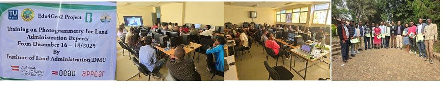
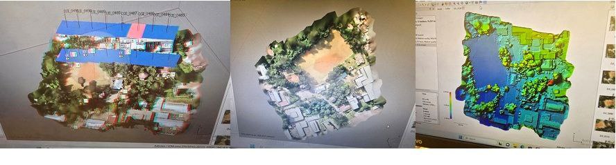
In the training held from December 16 – 18/2025 at DMU, main campus, a total of 20 experts acquired insightful theoretical and practical knowledge on processing of digital aerial images using Erdas Imagine Software: Interior orientation, exterior orientation, GCPs, generation of digital surface modes and digital orthophoto, ortho mosaicking, as well as feature collection applications. In addition, trainees processed an areal data collected in 2024 at the Building College of Addis Abeba University, using Aerial Unmanned Vehicles (UAVs), using Agisoft Metashape software.
The trainees acknowledged the organizers of the training, for it filled their knowledge and skill gap in geo-data generation and processing which is their daily activity in their respective offices. The training was organized by DMU in collaboration with University of Natural Resources and Life Sciences (BOKU), and Austrian Development Cooperation.