

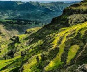
Choke Watershed
Choke Mountain is a known bio-diversity rich hotspot area found South of Lake Tana in Amhara Region, east Gojam Zone. It is a water tower of the upper Blue Nile Basin and a source of over 60 rivers and 270 springs. Choke watershed extend from tropical alpine environments at over 4000m elevation to the hot and dry Blue Nile gorge that includes areas below 1000m elevation, and contain a diversity of slope forms and soil types.
Agricultural Opportunities
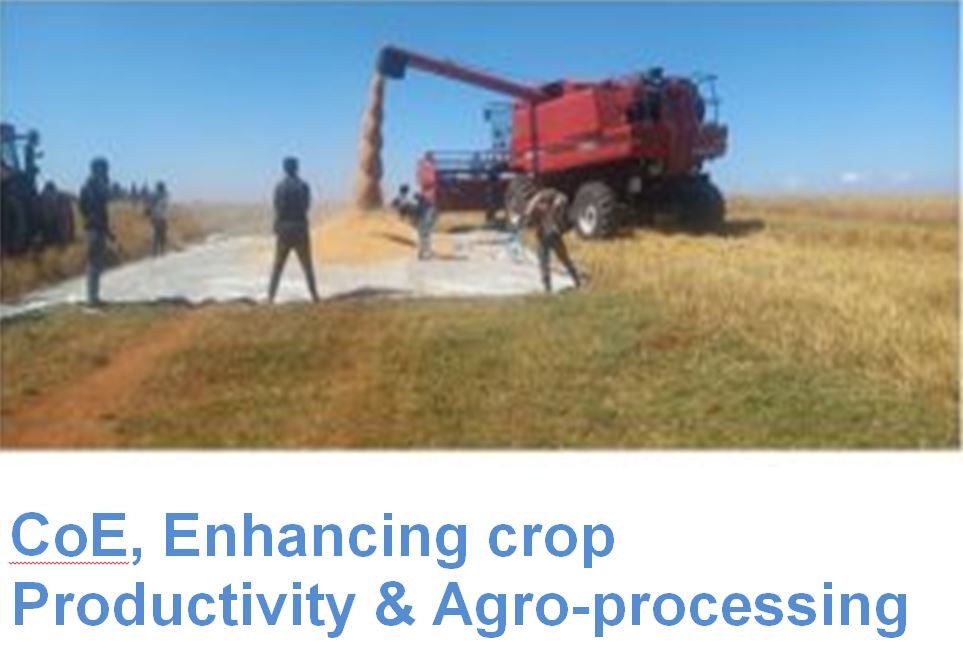
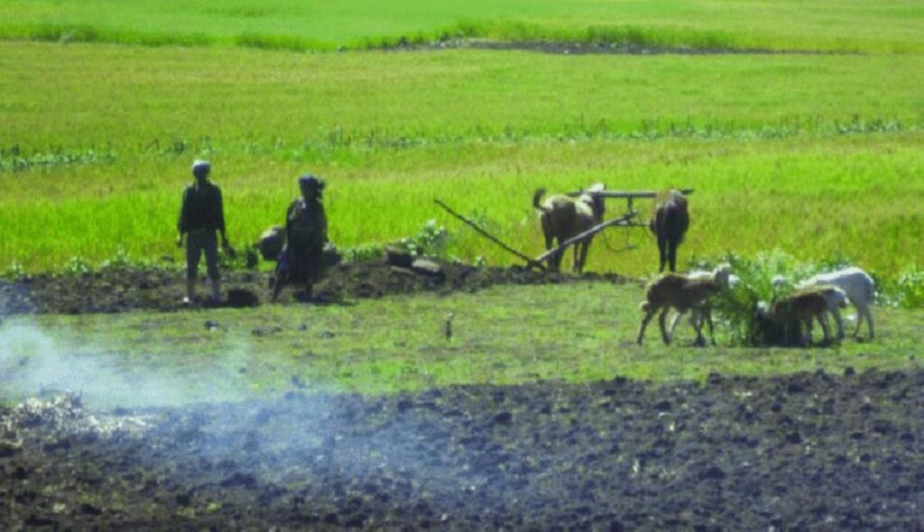
East Gojjam offers significant agricultural potential, focusing on high-value crops like potatoes, onions, and garlic (especially in areas like Senan Woreda), alongside staple grains (teff, wheat, maize) and pulses, with opportunities in improved irrigation (Gedeb River catchment), livestock, and value chain development, despite challenges like small landholdings and drought risk, highlighting needs

Cultural&Historical richness
East Gojjam, Ethiopia, boasts immense cultural and historical richness through ancient Orthodox Christian monasteries (like Mertu Le Mariyam) filled with priceless artifacts, royal treasures, and manuscripts from the 4th century; important traditional schools; historic palaces and battlefields; vibrant local markets; and unique ,